Ocean cost surface creation

Techstack
- Python, GIS
Tools
- QGIS, Jupyter Notebooks
Processing big data for the maritime industry
I worked with a data engineer to develop a processing pipeline of big data from ships’ tracking systems.
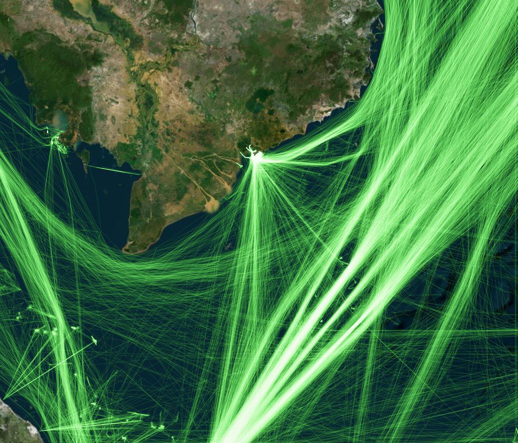
The client needed a raster surface for the ocean to be created with AIS (Automatic Identification System) data from all kinds of vessels and ships. The ships’ paths were interpolated where the data was missing.
Using data from AIS for one month and delimited to a small zone in the South China Sea, I created a process using QGIS and PostGIS to rasterize the data and generate a raster.
Once the process and the outputs were validated, I coded the processing pipeline using Python, providing a set of functions to automate the raster creation.
The map is just a visualization of the tracks for one month. Some features can be easily seen, including the cargo shipping lanes, the massive inflow near the ports, and the hotspots for fishing in Malaysia