Routing Tutorial – Part 1: Introduction to Routing
- Tutorial
Check out my first article, a tutorial about Aerialod and QGIS for 3d maps.
About Me- Tutorial
- Tutorial
- Tutorial
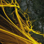
AIS data processing

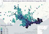
Business intelligence project

Processing big data for the maritime industry
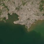
Review of different web maps I've made
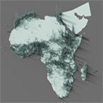
Population as heights
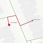
Network analysis with pgRouting
Pendular movements from census data
Extracting data from the web