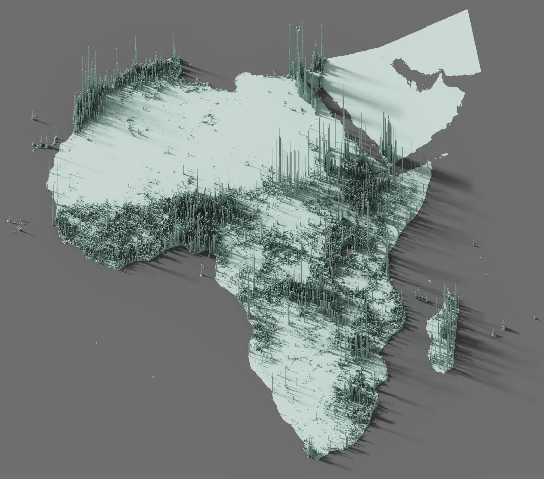
3d maps of population
Techstack
- GIS
Tools
- QGIS, Aerialod
Population as heights
A mere a toy example, just an excuse to learn the very basics of Aerialod, an easy yet powerful 3d software. If you're interested on how to make data visualization like this, please check this article on my blog.